Eyes on the Road! Uncovering Patterns in California's Traffic Collisions using Advanced Data Mining
Asian Institute of Management
Executive Summary
Driving is part of our daily lives, but as the number of cars and drivers on the road increases, so do traffic-related injuries and deaths. According to the CDC, 1.35 million people are killed on roadways annually worldwide, making traffic collisions the eighth-leading cause of death — more people now die in crashes than from HIV or AIDS. Low-income countries, like the Philippines, suffer three times the death rate of higher-income countries.
Thorough, geotagged collision data is not easy to come by. But the State of California, in partnership with UC Berkeley’s Safe Transportation Research and Education Center, has maintained the Statewide Integrated Traffic Records System (SWITRS) since 2003 — one of the most comprehensive transportation safety datasets available, with geo-coded crash data collected by the California Highway Patrol.
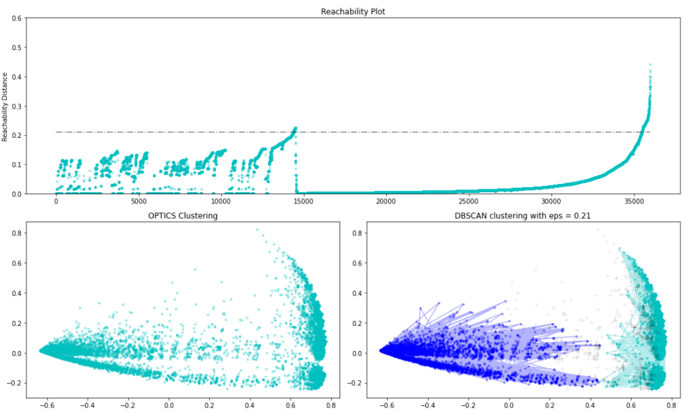
Using SWITRS data with advanced clustering methods (DBSCAN, BIRCH, and CLIQUE), we identified 2 clusters and detected outliers. Cluster 1 accidents generally happened farther from populated areas, while Cluster 0 accidents happened in populated areas, close to zero distance. The segmentation shows that accident location tends to affect survivability, though outliers show fatal accidents aren’t confined to any one location — reinforcing the need to prioritize the safety of pedestrians and cyclists sharing the road with drivers.
Full text article and source codes can be provided upon request.